
Hike #41 2021
July 17th, 2021
After some rain this week wildfire smoke in the area has been minimal and air quality much better, so we took this as an opportunity to climb one of our favorite peaks.
We started this hike at 5:15am when it was still dark out. This is because you’re completely exposed after reaching the pass, so an early start was a must to make sure the dogs don’t overheat. We chose to do this trail as a point-to-point hike to get all the views in the area.

Nearing the pass

At the pass


Once we reach the pass we take the faint trail to the left which takes us up and down several mountains.

Beginning the climb up the first mountain


On top of the first mountain. Now we follow the ridge up the other mountains to reach our final peak on the very right.


Wind shelter on the mountain before our last steep climb
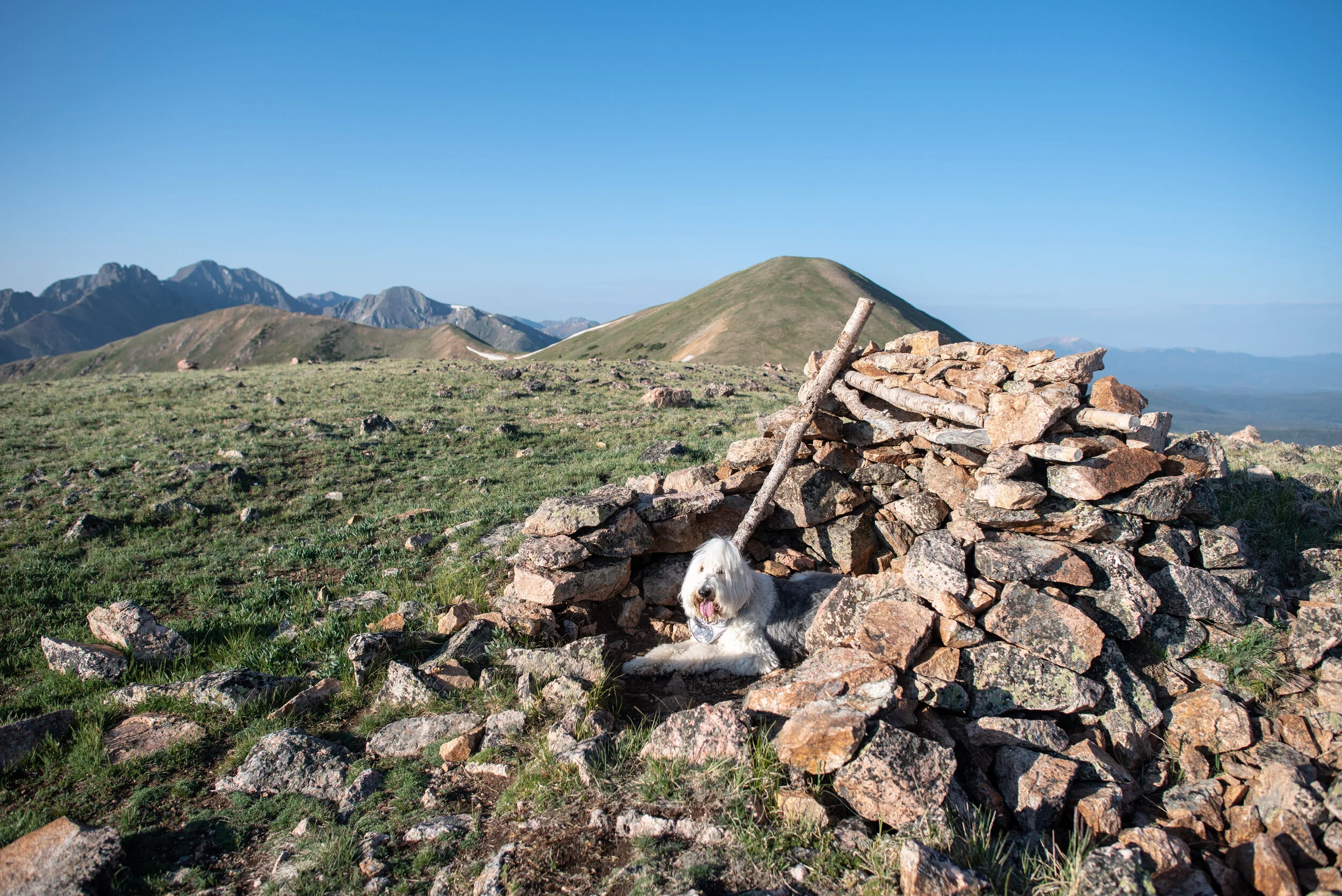


We took a quick break at the wind shelter and gave the dogs lots of water before our last steep climb where we gain just over 400 feet in .35 of a mile.


We let the dogs have plenty of breaks on our way up

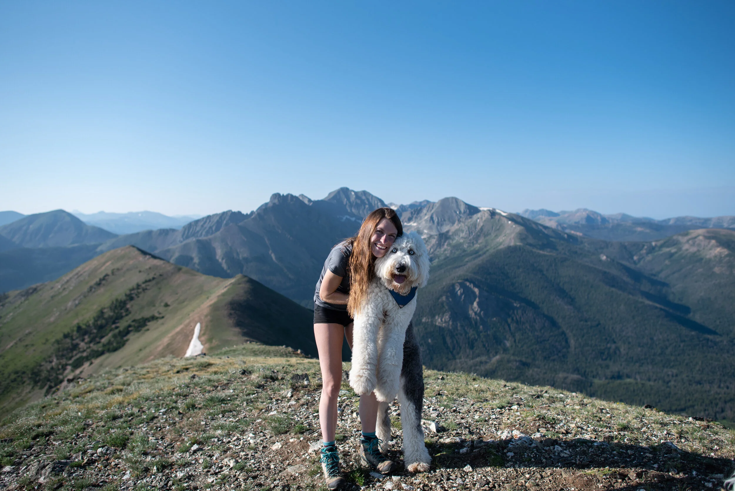
The summit
Maxi was the first one to reach the summit. We, of course, spent quite some time here taking pictures of the surrounding mountains.


Zeus loves to give kisses


Looking back towards the pass

The road on the left is where we were heading next
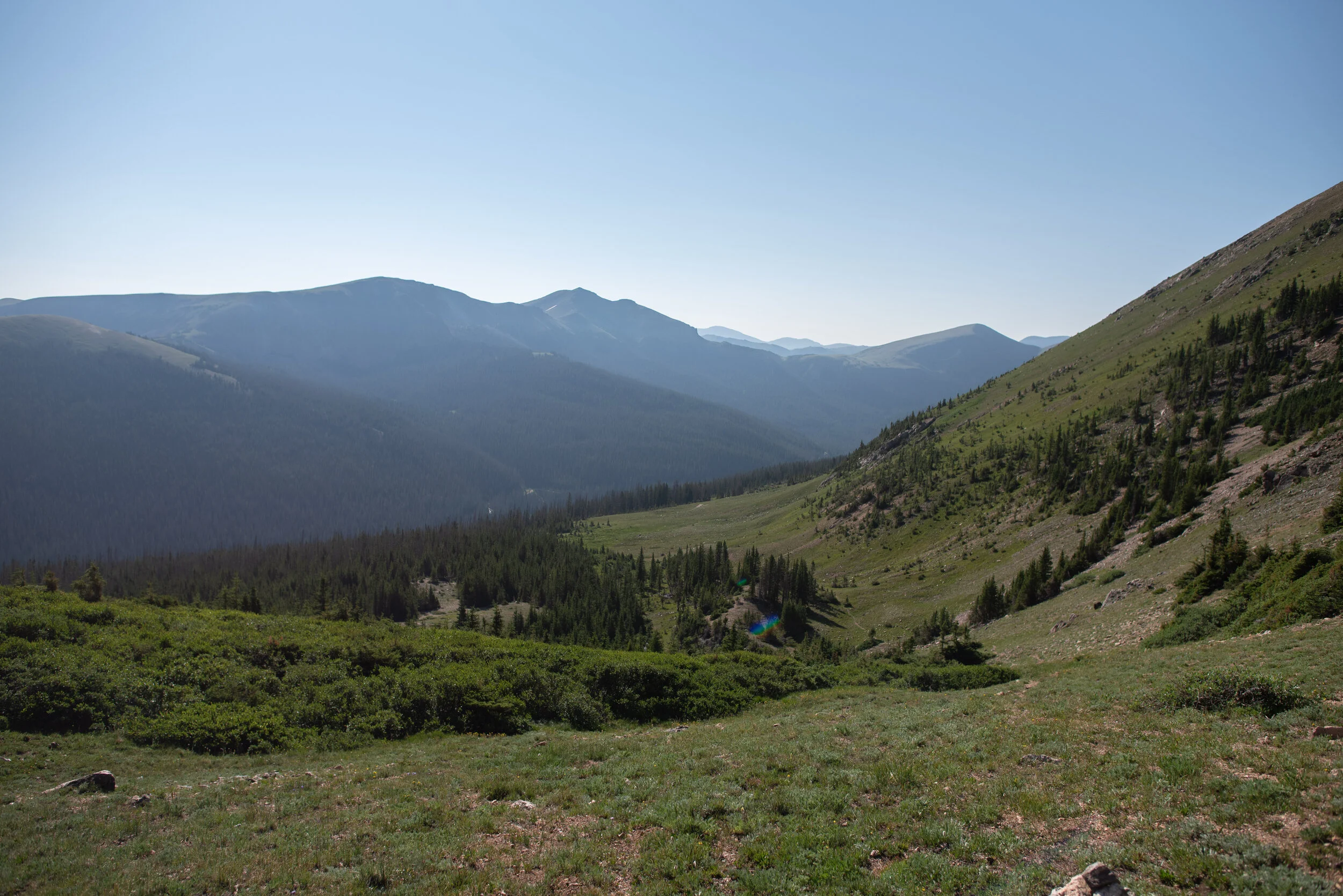
We had the whole peak to ourselves and it was wonderful! We then had a very steep hike downhill where we lost 1,585 feet in elevation in just under 1.5 miles. Definitely not easy on the knees but worth it for the views.
There’s also not a definitive trail down until you get into the trees, fortunately we’ve done this trail previously so we know exactly where to go.


When Maxi saw the small snowfield, he made a mad dash for it! He loves the snow.


Looking back up at the peak


Once we reached our end trailhead I put on my running shoes and ran down the road a couple miles to our original trailhead and then drove the car back up.
We hiked 5.0 miles with 2,000 feet of elevation gain. We reached a maximum elevation of 11,857 feet.