
Hike #39 2021
July 10th, 2021
Wow, what a day!
Due to a wildfire a few hours west of us, we decided to change our original hiking plans and head southwest and find a hike along the mountain corridor. Yesterday, while checking smoke reports, I found a couple pockets that didn’t seem to have dense smoke settling, so we opted to find a trail in this area. Though we knew we would still have some hazy skies from out of state fires, we just wanted to avoid thick smoke.
We’ve been trying to find new places to explore that are within about 3 hours of driving. We don’t often drive over 2 hours each way, but when we do, it’s for the views! Because this drive was closer to 3 hours each way, with the last hour spent on a rough 4x4 dirt road (though accessible by most high clearance vehicles), we woke up and left home earlier than usual to be at the trailhead just after 5am. We began our hike shortly after and were already in awe of the mountains around us.
This trail was beautiful! Scott and I both took so many pictures here, too many in fact, but it was just too pretty we couldn’t help but take hundreds of photos.


Remnants of an abandoned mine


Pictures don’t do this area justice, but this stream had the clearest blue water we’ve ever seen!


Scott and I call these flowers the “Q-Tip flowers,” though their actual name is American bistort.


There were lots of Indian paintbrush here!


Our destination for this hike was a lake. Here we are starting the next incline up a rocky section of the trail.


At this point the trail started to disappear, but this lake (above) was not the lake we were looking for. We continued to hike up farther to find our lake.


Scott showing off his snack

Scott and Zeus coming over the crest of the hill


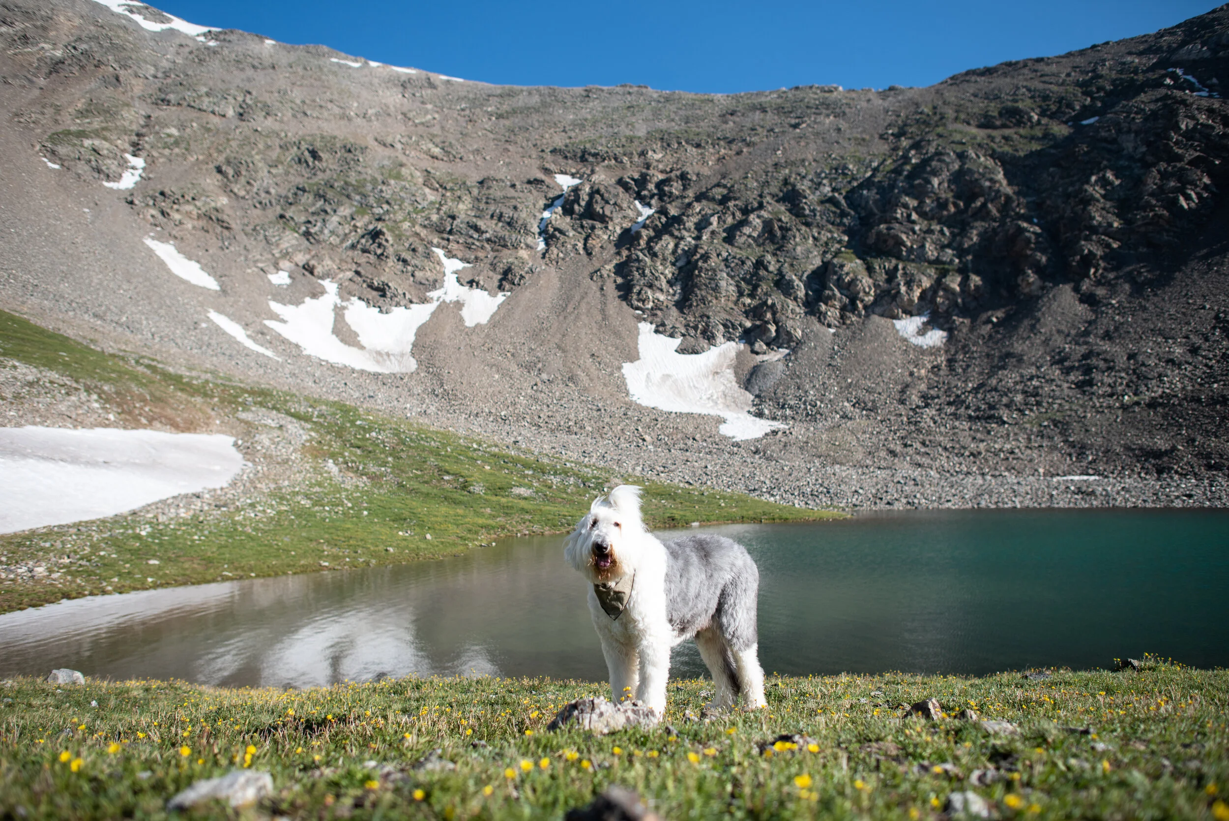
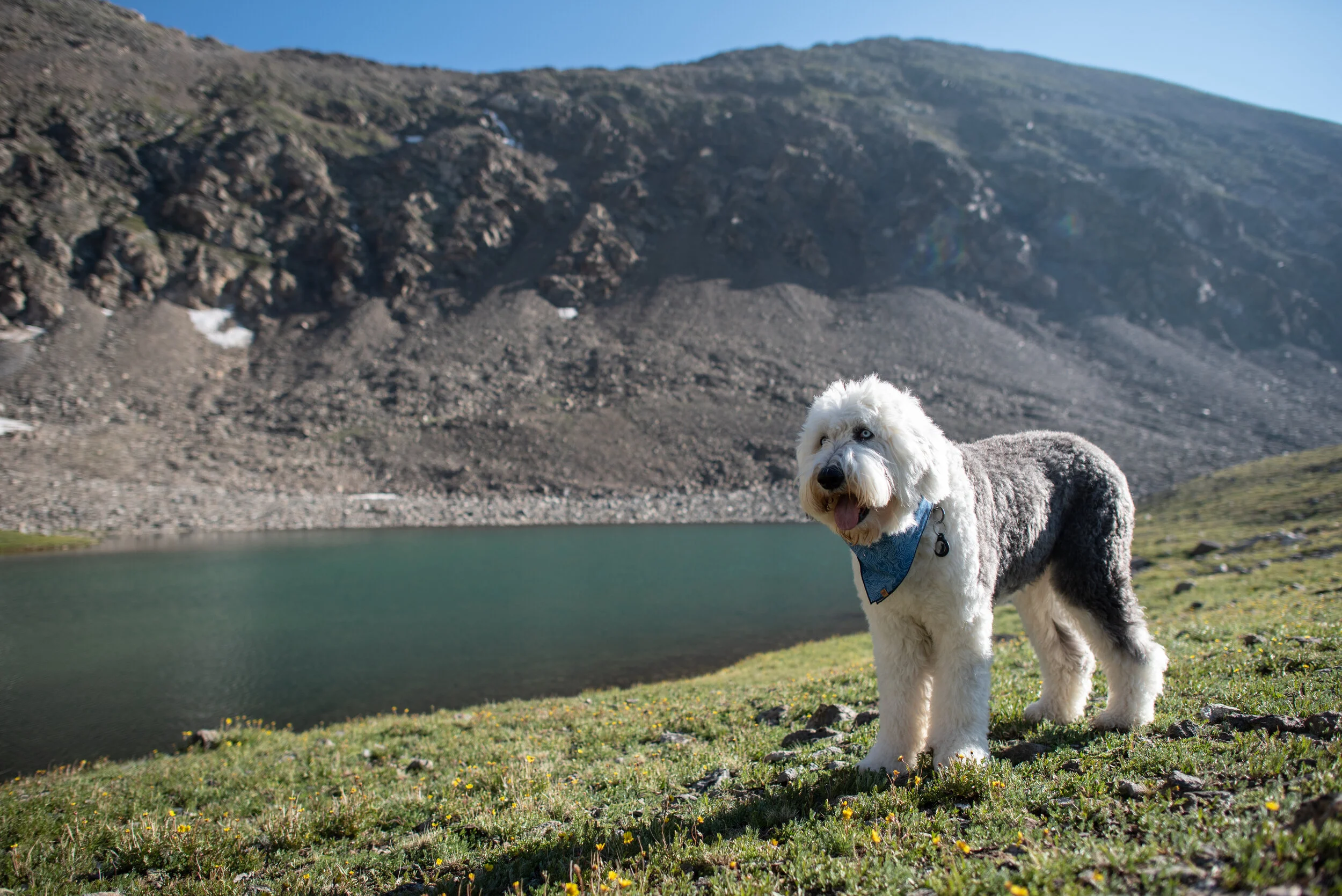
After another short climb we made it to this lake! We spent quite some time here and were lucky to have it all to ourselves.


Heading back down


Overlooking the first lake we passed


Maxi, Zeus and I on the bridge
We hiked 6.10 miles with 1,700 feet of elevation gain. We reached a maximum elevation of 12,822 feet.